Georeferencing & Change Detection
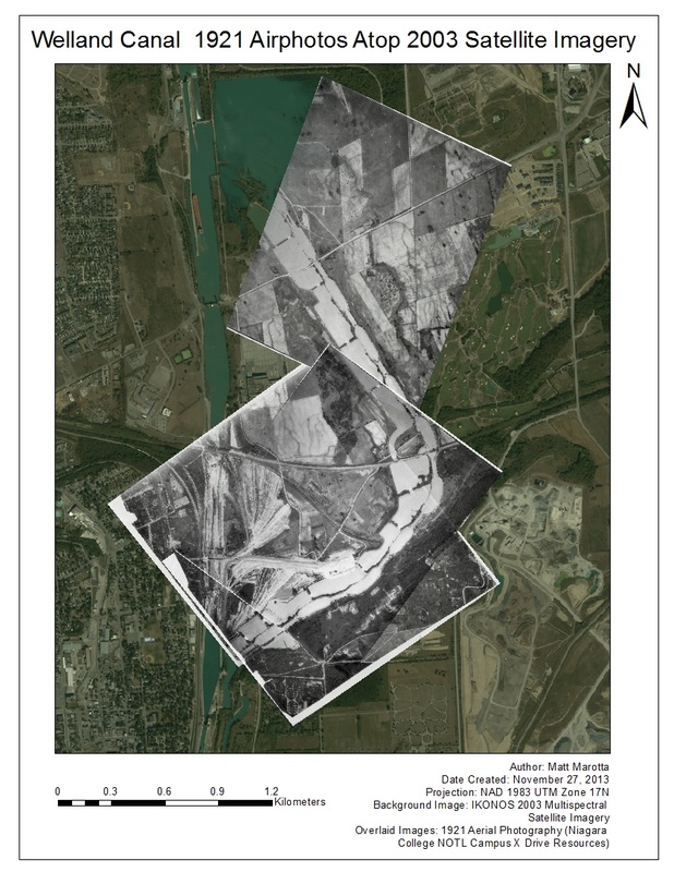
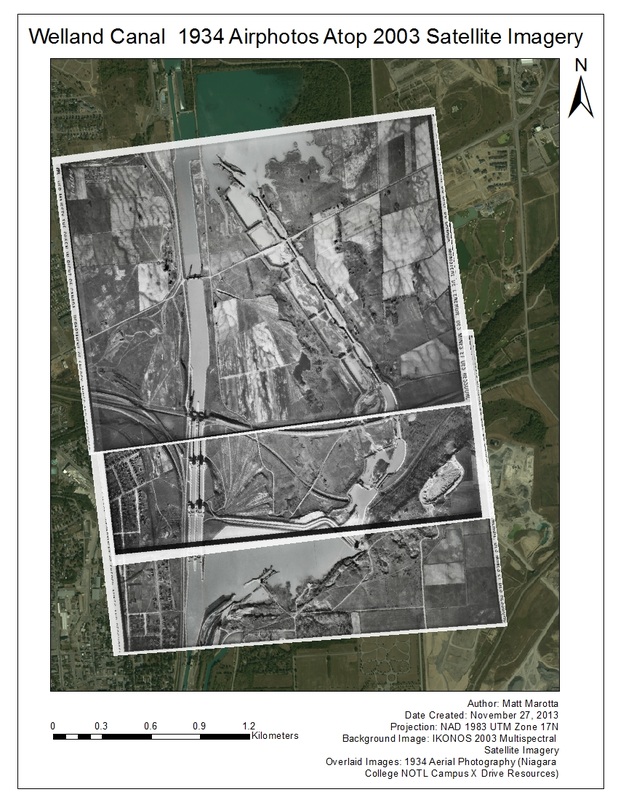
This deliverable contains a formal report in which I undertake the task of georeferencing several aerial images from 1921 and 1934 to a satellite image from 2003. This deliverable allowed me to gain the practical ability to georeference images using ESRI's ArcGIS. Georeferencing the images then allowed me to gain practical experience writing a formal report in which I conduct a change detection analysis. As a result of the completion of this deliverable, I have better understood the unique geography of the Niagara Region as it pertains to the Welland Canals.